Safeguard of Modern Urban Heritage
The project aims at the preservation and cultural valorization of modern urban heritage combining historical-technical surveys, satellite monitoring and advanced digital platforms for spatial analysis and data representation.
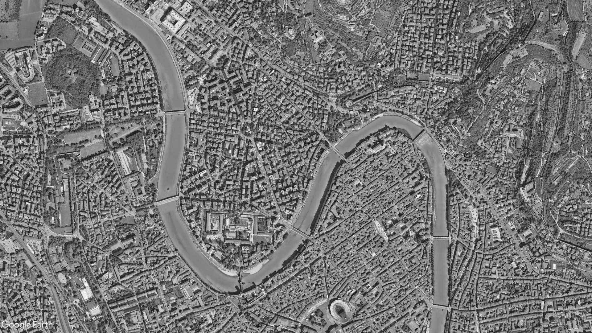
The project stems from multidisciplinary research regarding the application of satellite measurements for the structural and building monitoring of built heritage, with specific reference to buildings constructed with “modern” materials from the end of the 19th century throughout the 20th century. Densely populated 20th-century cities are characterized by buildings and infrastructures that require, on one hand, continuous maintenance to extend their useful life in accordance with current building standards and, on the other, a cultural operation aimed at their precise recognition as part of the architectural and technological heritage of “modernity.” In this sense, the development of methods and tools dedicated to integrating structured, easily accessible knowledge frameworks with advanced monitoring methods and predictive simulation models represents an urgent task to support joint actions for safeguarding the built environment.
In this context, the project aimed to develop, test, and make accessible a multidisciplinary method for safeguarding the built heritage in the urban areas of the “20th-century city,” based on the combination of knowledge frameworks derived from extensive documentary research, structural vulnerability analysis, and interferometric techniques—specifically Differential Interferometric Synthetic Aperture Radar (DInSAR)—for measuring surface deformation phenomena. Specifically, the investigation methodology is divided into three actions: first, the acquisition, analysis, and spatial representation of data derived from extensive documentary research to build exhaustive knowledge frameworks of existing buildings and infrastructures; second, the acquisition, analysis, and spatial representation of measurements obtained from satellite data using DInSAR techniques to identify ongoing surface displacement phenomena; and third, the assessment of structural vulnerability classes based on the knowledge frameworks and the refinement of these analyses based on the satellite measurement results conducted in the second phase.
For the development of the investigations and the dissemination of results, the research relied on the construction of a webGIS platform, extended to three-dimensional representations and governed by conceptual representations of information data. Upon completion of the research activities, the platform became the primary tool for disseminating results through interactive thematic maps useful for decision-making processes in preventive conservation planning
